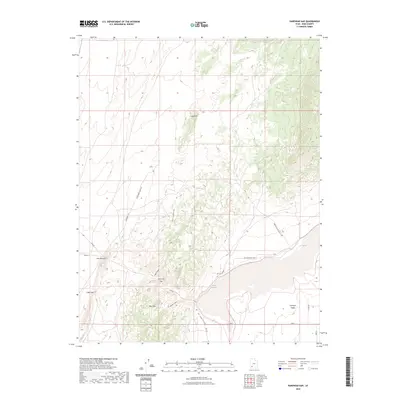
2023 Map of Parowan Gap
USGS Topo · Published 2023About this map
Parowan Gap serves as a prominent geological pass through the Red Hills, connecting the high desert plains with the expansive Parowan Valley to the east. This 2023 survey illustrates a landscape defined by dramatic elevation changes and essential water sources, such as Lister Spring and Dipping Vat Spring, which have historically supported livestock and travelers in this arid region of Iron County.
Find a feature on this map
22 named features on this map. Tap any name to fly to it.
Don’t see what you’re looking for? This feature index may not catch every label — zoom into the map to look around manually.
Map Details
Editions of this 2023 Parowan Gap Map
This is the sole edition of this map. No revisions or reprints were ever made.
Other maps of this area

1885 · St. George
USGS Topo · 1:250,000

1885 · Beaver
USGS Topo · 1:250,000

1886 · Kanab
USGS Topo · 1:250,000

1891 · St. George
USGS Topo · 1:250,000

1950 · Enoch
USGS Topo · 1:24,000

1950 · Enoch
USGS Topo · 1:62,500

1950 · Enoch NE
USGS Topo · 1:24,000

1952 · Enoch NE
USGS Topo · 1:24,000

1953 · Richfield
USGS Topo · 1:250,000

1953 · Cedar City
USGS Topo · 1:250,000