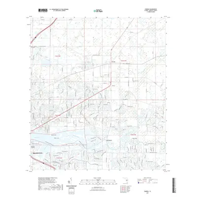
2021 Map of Parrish
USGS Topo · Published 2021About this map
The Manatee River provides the central geographic anchor for this modern look at Parrish, where suburban development patterns meet the low-lying wetlands of Manatee County. The landscape is defined by its extensive water management system, including the Buffalo Canal, Wade Canal, and Frye Canal, which drain the surrounding wetlands such as Little Sawgrass and Big Sawgrass. These drainage features illustrate the ongoing transformation of traditional Florida terrain into residential enclaves.
Find a feature on this map
73 named features on this map. Tap any name to fly to it.
Don’t see what you’re looking for? This feature index may not catch every label — zoom into the map to look around manually.
Map Details
Editions of this 2021 Parrish Map
This is the sole edition of this map. No revisions or reprints were ever made.
Other maps of this area

1921 · Fort De Soto
USGS Topo · 1:62,500

1942 · Cockroach Bay
USGS Topo · 1:31,680

1944 · Ruskin
USGS Topo · 1:31,680

1944 · Rye
USGS Topo · 1:31,680

1944 · Wimauma
USGS Topo · 1:31,680

1944 · Verna
USGS Topo · 1:31,680

1944 · Lorraine
USGS Topo · 1:31,680

1944 · Ellenton
USGS Topo · 1:31,680

1944 · Parish
USGS Topo · 1:31,680

1945 · Cockroach Bay
USGS Topo · 1:31,680