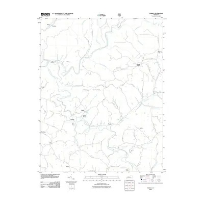
2010 Map of Parrot
USGS Topo · Published 2010About this map
Thomas Mill stands as a notable landmark along the lower reaches of Moores Creek, highlighting the legacy of local industry in this part of Kentucky. The landscape is defined by the convergence of the South Fork Rockcastle River and the Middle Fork Rockcastle River, creating a network of ridges and hollows that historically dictated settlement patterns. Small communities like Parrot, Cornette, and Peoples are scattered throughout, often centered around family-named infrastructure and early roads.
Find a feature on this map
89 named features on this map. Tap any name to fly to it.
Don’t see what you’re looking for? This feature index may not catch every label — zoom into the map to look around manually.
Map Details
Editions of this 2010 Parrot Map
This is the sole edition of this map. No revisions or reprints were ever made.
Other maps of this area

1891 · Manchester
USGS Topo · 1:125,000

1893 · London
USGS Topo · 1:125,000

1897 · London
USGS Topo · 1:125,000

1952 · Portersburg
USGS Topo · 1:24,000

1952 · Bernstadt
USGS Topo · 1:24,000

1952 · London
USGS Topo · 1:24,000

1953 · Johnetta
USGS Topo · 1:24,000

1953 · Mc Kee
USGS Topo · 1:24,000

1953 · Sandgap
USGS Topo · 1:24,000

1953 · Livingston
USGS Topo · 1:24,000