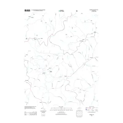
2013 Map of Parrot
USGS Topo · Published 2013About this map
The Middle Fork Rockcastle River and S Fork Rockcastle River wind through this pocket of Jackson County, carving a landscape defined by deep drainages and narrow ridges. Settlement patterns here follow these waterways and the high ground between them, with numerous small communities such as Seven Pines, Dabolt, and Ardery serving as local focal points. The map reveals a dense network of family-named roads and rural infrastructure, including Thomas Mill and Victory in the southern reaches. This modern survey provides a clear view of the rural upland character, where traditional place names like Laurel Branch and Old Bend persist. To the south, the terrain opens slightly near Mershons, while smaller branches like White Oak Cr and Pond Cr feed into the primary river systems, illustrating the complex hydrology of the region.
Find a feature on this map
102 named features on this map. Tap any name to fly to it.
Don’t see what you’re looking for? This feature index may not catch every label — zoom into the map to look around manually.
Map Details
Editions of this 2013 Parrot Map
This is the sole edition of this map. No revisions or reprints were ever made.
Other maps of this area

1891 · Manchester
USGS Topo · 1:125,000

1893 · London
USGS Topo · 1:125,000

1897 · London
USGS Topo · 1:125,000

1952 · Portersburg
USGS Topo · 1:24,000

1952 · Bernstadt
USGS Topo · 1:24,000

1952 · London
USGS Topo · 1:24,000

1953 · Johnetta
USGS Topo · 1:24,000

1953 · Mc Kee
USGS Topo · 1:24,000

1953 · Sandgap
USGS Topo · 1:24,000

1953 · Livingston
USGS Topo · 1:24,000