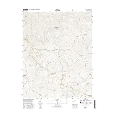
2016 Map of Parrot
USGS Topo · Published 2016About this map
The Daniel Boone National Forest dominates this section of the Kentucky hills, where the Middle Fork Rockcastle River and South Fork Rockcastle River carve through the landscape. Small communities like Dabolt, Peoples, and Eberle are connected by a network of rural roads that often follow the natural drainage patterns of creeks like Pond Cr and Horse Lick Cr. The survey illustrates a settlement pattern defined by proximity to these waterways and the rugged terrain of the Dbnf.
Find a feature on this map
99 named features on this map. Tap any name to fly to it.
Don’t see what you’re looking for? This feature index may not catch every label — zoom into the map to look around manually.
Map Details
Editions of this 2016 Parrot Map
This is the sole edition of this map. No revisions or reprints were ever made.
Other maps of this area

1891 · Manchester
USGS Topo · 1:125,000

1893 · London
USGS Topo · 1:125,000

1897 · London
USGS Topo · 1:125,000

1952 · Portersburg
USGS Topo · 1:24,000

1952 · Bernstadt
USGS Topo · 1:24,000

1952 · London
USGS Topo · 1:24,000

1953 · Johnetta
USGS Topo · 1:24,000

1953 · Mc Kee
USGS Topo · 1:24,000

1953 · Sandgap
USGS Topo · 1:24,000

1953 · Livingston
USGS Topo · 1:24,000