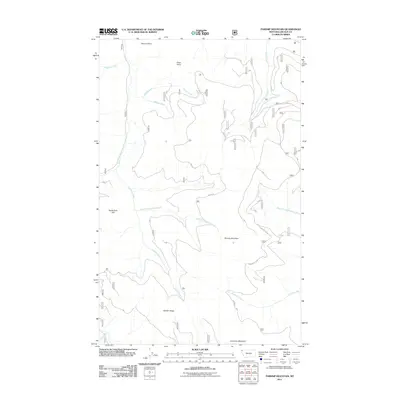
2011 Map of Parsnip Mountain
USGS Topo · Published 2011About this map
Parsnip Mountain and Lawrence Mountain dominate this corner of Lincoln County, defined by a dense network of watercourses and ridges. The drainage patterns shown here—ranging from South Fork Big Creek in the northwest to Parsnip Creek in the southeast—illustrate the complex topography of the Kootenai National Forest region. High elevation landmarks such as Maxine Point, Pinto Point, and Garden Ridge provide critical orientation points for this backcountry area. The presence of Big Cr Rd and various forest service trails highlights the area's ongoing use for timber management and outdoor recreation. Researchers can trace the headwaters of numerous streams, including Lookout Creek and East Fork Lookout Creek, as they carve through the mountain passes.
Find a feature on this map
18 named features on this map. Tap any name to fly to it.
Don’t see what you’re looking for? This feature index may not catch every label — zoom into the map to look around manually.
Map Details
Editions of this 2011 Parsnip Mountain Map
This is the sole edition of this map. No revisions or reprints were ever made.
Other maps of this area

1957 · Kalispell
USGS Topo · 1:250,000

1960 · Kalispell
USGS Topo · 1:250,000

1961 · Kalispell
USGS Topo · 1:250,000

1963 · Pink Mountain
USGS Topo · 1:24,000

1963 · Banfield Mountain
USGS Topo · 1:24,000

1963 · Webb Mountain
USGS Topo · 1:24,000

1963 · Boulder Lakes
USGS Topo · 1:24,000
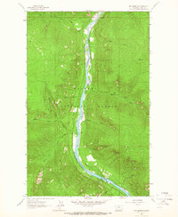
1963 · Inch Mountain
USGS Topo · 1:24,000

1963 · Lost Horse Mountain
USGS Topo · 1:24,000
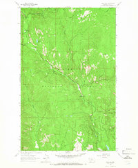
1963 · Gold Hill
USGS Topo · 1:24,000