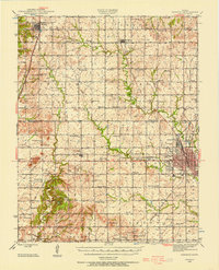
1945 Map of Parsons
USGS Topo · Published 1956About this map
The industrial and civic hub of Parsons anchors the eastern edge of this mid-century landscape, characterized by the convergence of the St Louis San Francisco and Atchison Topeka and Santa Fe railroads. Notable local institutions include the State Asylum, the municipal Water Works, and an early Airport north of the city. Beyond the city limits, the terrain transitions into a dense grid of rural school districts and small settlements like Thayer, Galesburg, and Dennis.
Find a feature on this map
82 named features on this map. Tap any name to fly to it.
Don’t see what you’re looking for? This feature index may not catch every label — zoom into the map to look around manually.
Map Details
Editions of this 1945 Parsons Map
This is the sole edition of this map. No revisions or reprints were ever made.
Other maps of this area
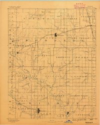
1886 · Fredonia
USGS Topo · 1:125,000
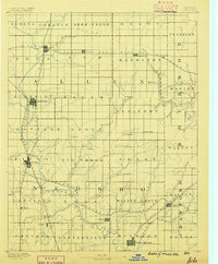
1886 · Iola
USGS Topo · 1:125,000
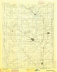
1886 · Independence
USGS Topo · 1:125,000
1886 · Parsons
USGS Topo · 1:125,000
1893 · Iola
USGS Topo · 1:125,000
1893 · Parsons
USGS Topo · 1:125,000
1894 · Fredonia
USGS Topo · 1:125,000
1894 · Independence
USGS Topo · 1:125,000
1904 · Iola
USGS Topo · 1:125,000
1905 · Independence
USGS Topo · 1:125,000