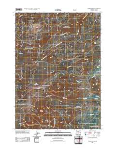
2011 Map of Partin Butte
USGS Topo · Published 2011About this map
Partin Butte and Round Butte dominate this high-desert landscape in Lake County, where a complex network of seasonal and perennial drainages shapes the terrain. The hydrological pattern is particularly intricate, defined by the West Fork Silver Creek, North Fork Silver Creek, and Guyer Creek flowing through the volcanic uplands. These water sources have long dictated human presence in the area, evident in the placement of Elder Cabin near Partin Spring and the named water resources like Alder Spring. This 2011 survey captures a landscape primarily used for forestry and recreation, as indicated by the presence of Antler Trailhead and the Nfd 3142 Rd. The map also details specific geological and topographical transitions, such as Alder Spring Ridge and the expansive Indian Creek Flat, illustrating the diverse geography of the Oregon high country.
Find a feature on this map
17 named features on this map. Tap any name to fly to it.
Don’t see what you’re looking for? This feature index may not catch every label — zoom into the map to look around manually.
Map Details
Editions of this 2011 Partin Butte Map
This is the sole edition of this map. No revisions or reprints were ever made.
Other maps of this area

1889 · Klamath
USGS Topo · 1:250,000

1894 · Klamath
USGS Topo · 1:250,000

1955 · Crescent
USGS Topo · 1:250,000

1955 · Klamath Falls
USGS Topo · 1:250,000

1957 · Crescent
USGS Topo · 1:250,000

1958 · Crescent
USGS Topo · 1:250,000

1958 · Klamath Falls
USGS Topo · 1:250,000

1960 · Sycan Marsh
USGS Topo · 1:62,500

1960 · Yamsay Mountain
USGS Topo · 1:62,500

1968 · Rodman Rock
USGS Topo · 1:24,000