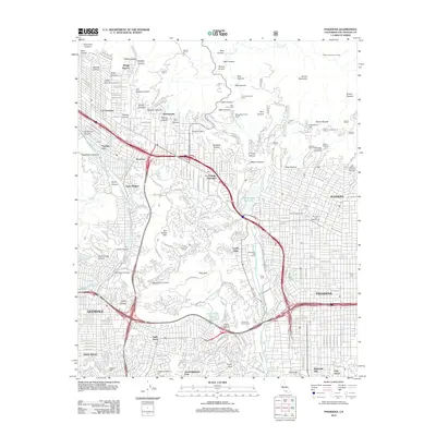
2012 Map of Pasadena
USGS Topo · Published 2012About this map
The Arroyo Seco defines the central axis of this landscape, separating the residential grid of Pasadena and Altadena from the slopes of the San Rafael Hills. This 2012 record documents the area just as the suburban footprint met the rising elevations of Brown Mountain. The map details the transition from the dense urban developments of Glendale and Eagle Rock to the recreational and open spaces of the canyon lands. Significant public landmarks such as the Rose Bowl and Brookside Golf Course occupy the broad wash, while higher elevations are marked by specialized sites like Camp Sierra and Camp Chiquita.
Find a feature on this map
217 named features on this map. Tap any name to fly to it.
Don’t see what you’re looking for? This feature index may not catch every label — zoom into the map to look around manually.
Map Details
Editions of this 2012 Pasadena Map
This is the sole edition of this map. No revisions or reprints were ever made.
Other maps of this area

1894 · Los Angeles
USGS Topo · 1:62,500

1896 · Pasadena
USGS Topo · 1:62,500

1896 · Santa Monica
USGS Topo · 1:62,500

1898 · Santa Monica
USGS Topo · 1:62,500

1900 · Pasadena
USGS Topo · 1:62,500

1900 · Tujunga
USGS Topo · 1:62,500

1900 · Los Angeles
USGS Topo · 1:62,500

1900 · Fernando
USGS Topo · 1:62,500

1901 · Southern California Sheet No. 1
USGS Topo · 1:250,000

1902 · Santa Monica
USGS Topo · 1:62,500