2022 Map of Pasadena
USGS Topo · Published 2022About this map
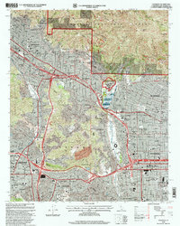
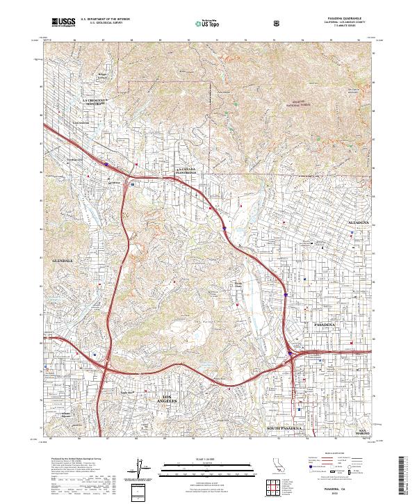
The San Gabriel Mountains rise sharply above the suburban sprawl of the Crescenta Valley, defining the northern boundary of this modern survey. Within the Angeles National Forest, the terrain is deeply incised by steep drainages like Millard Canyon and El Prieto Canyon, where the Dawn Mine remains a notable landmark of earlier extraction efforts. The transition from the rugged peaks to the developed valley floors illustrates the complex geography of the San Gabriel front, where residential neighborhoods in Altadena and La Cañada Flintridge push directly against the steep mountain slopes.
Find a feature on this map
246 named features on this map. Tap any name to fly to it.
Don’t see what you’re looking for? This feature index may not catch every label — zoom into the map to look around manually.
Map Details
Editions of this 2022 Pasadena Map
This is the sole edition of this map. No revisions or reprints were ever made.
Historical Maps of Altadena Through Time
6 maps found