
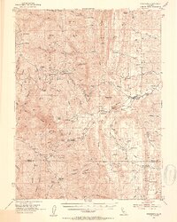
1952 Map of Paskenta
USGS Topo · Published 1953About this map
Paskenta sits at the base of the eastern foothills of the Northern Coast Ranges, serving as a gateway to the Mendocino National Forest in the early 1950s. The landscape is defined by the transition from the valley floor to high ridges like Raglin Ridge and Riley Ridge. Numerous named orchards and family ranches, including the Valley View Orchard and Finnell Ranch, illustrate the region's agricultural character at this time. To the north, the Lowrey Sch (Aband) and Kleinsorge Mine point to earlier eras of rural industry and education.
Find a feature on this map
73 named features on this map. Tap any name to fly to it.
Don’t see what you’re looking for? This feature index may not catch every label — zoom into the map to look around manually.
Map Details
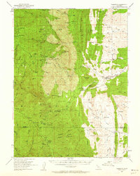
Editions of this 1952 Paskenta Map
3 editions found
Other maps of this area

1890 · Red Bluff
USGS Topo · 1:250,000

1894 · Red Bluff
USGS Topo · 1:250,000

1919 · Fruto
USGS Topo · 1:62,500

1919 · Elk Creek
USGS Topo · 1:62,500

1944 · Fruto
USGS Topo · 1:62,500

1944 · Flournoy
USGS Topo · 1:62,500

1948 · Elk Creek
USGS Topo · 1:62,500

1949 · Colyear Springs
USGS Topo · 1:62,500

1952 · Red Bank
USGS Topo · 1:24,000

1952 · Hull Mountain
USGS Topo · 1:62,500