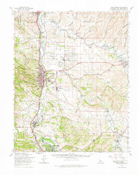
1961 Map of Paso Robles
USGS Topo · Published 1982About this map
The Salinas River valley serves as the central corridor for this 1961 survey, where the Southern Pacific railroad parallels the water through the growing hubs of Paso Robles and Templeton. The map captures a transitional moment for the region’s rural landscape, documenting numerous small schoolhouses like Union Sch and Phillips Sch alongside newer developments such as the Paso Robles County Airport. To the north, the Camp Roberts Military Reservation borders the historical site of the San Miguel Arcangel Mission, while the inland valleys are shaped by the Estrella River.
Find a feature on this map
57 named features on this map. Tap any name to fly to it.
Don’t see what you’re looking for? This feature index may not catch every label — zoom into the map to look around manually.
Map Details
Editions of this 1961 Paso Robles Map
2 editions found
Other maps of this area

1897 · San Luis Obispo
USGS Topo · 1:62,500

1897 · Cayucos
USGS Topo · 1:62,500

1900 · San Luis
USGS Topo · 1:125,000

1914 · Cholame
USGS Topo · 1:125,000

1915 · Cholame
USGS Topo · 1:125,000

1917 · Cholame
USGS Topo · 1:125,000

1919 · San Miguel
USGS Topo · 1:62,500

1919 · Paso Robles
USGS Topo · 1:62,500

1919 · Bradley
USGS Topo · 1:62,500

1919 · Adelaida
USGS Topo · 1:62,500