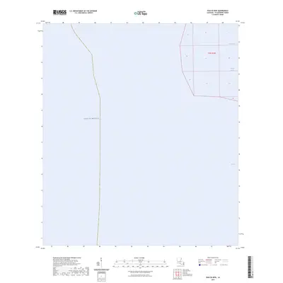
2024 Map of Pass du Bois
USGS Topo · Published 2024About this map
Gulf of Mexico waters dominate this coastal survey of Plaquemines Parish, where the Mississippi River delta meets the sea. The landscape is defined by the narrow, shifting channels typical of this littoral environment, including Pass Du Bois and Pass La Graisse. To the southeast, the open expanse of West Bay borders the marshy fingers of the delta. This map illustrates the contemporary state of the Louisiana coastline, documenting the intricate boundary between sea and land within the Public Land Survey system of t23s r30e. While land area is minimal, the named passes provide critical navigational reference points for this specialized maritime geography.
Find a feature on this map
5 named features on this map. Tap any name to fly to it.
Don’t see what you’re looking for? This feature index may not catch every label — zoom into the map to look around manually.
Map Details
Editions of this 2024 Pass du Bois Map
This is the sole edition of this map. No revisions or reprints were ever made.
Other maps of this area

1893 · West Delta
USGS Topo · 1:62,500

1946 · Pass Du Bois
USGS Topo · 1:31,680

1946 · Mudpan Bayou
USGS Topo · 1:31,680

1946 · Pass Tante Phine
USGS Topo · 1:31,680

1947 · Southwest Pass
USGS Topo · 1:31,680

1949 · Cubits Gap
USGS Topo · 1:31,680
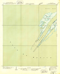
1949 · Burrwood
USGS Topo · 1:31,680

1952 · Southwest Pass
USGS Topo · 1:62,500

1953 · West Delta
USGS Topo · 1:62,500
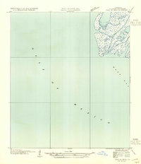
1954 · Pass Du Bois
USGS Topo · 1:31,680