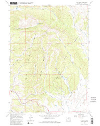
1966 Map of Pass Peak
USGS Topo · Published 1980About this map
Pass Peak stands as the central landmark in this high-altitude landscape where the boundaries of the Teton National Forest and Bridger National Forest converge. The terrain is defined by dramatic ridgelines including the East Rim and the topographical prominence known simply as the Rim. A network of water sources feeds the drainage basins here, from the elevated Fisherman Creek Lake to the headwaters of Jack Creek and Beaver Creek.
Find a feature on this map
27 named features on this map. Tap any name to fly to it.
Don’t see what you’re looking for? This feature index may not catch every label — zoom into the map to look around manually.
Map Details
Editions of this 1966 Pass Peak Map
2 editions found
Other maps of this area

1907 · Gros Ventre
USGS Topo · 1:125,000

1910 · Gros Ventre
USGS Topo · 1:125,000

1955 · Driggs
USGS Topo · 1:250,000

1958 · Driggs
USGS Topo · 1:250,000

1962 · Driggs
USGS Topo · 1:250,000
1966 · Warren Bridge
USGS Topo · 1:24,000
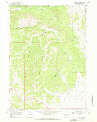
1966 · Pass Peak
USGS Topo · 1:24,000
1966 · Dodge Butte
USGS Topo · 1:24,000
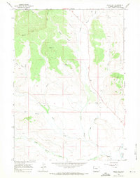
1966 · Signal Hill
USGS Topo · 1:24,000
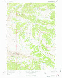
1967 · Tosi Peak
USGS Topo · 1:24,000