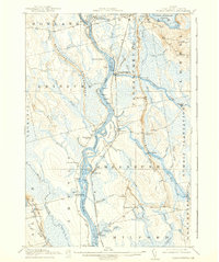
1917 Map of Passadumkeag
USGS Topo · Published 1939About this map
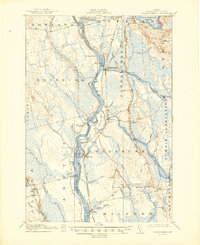
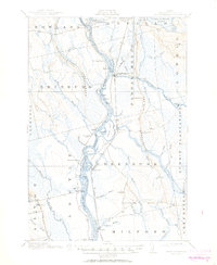
The Penobscot River serves as the central artery for this Penobscot County corridor during the early twentieth century, dictating the layout of settlements and transport. Along its banks, the Maine Central Railroad and Bangor and Aroostook Railroad parallel the water, connecting timber and trade hubs like Howland, Passadumkeag, and Costigan. The landscape is defined by the unique "horseback" glacial ridges and a complex network of islands, including White Squaw Island and Olamon Island, which split the river's flow. Local life is anchored by a system of rural educational outposts such as the Edinburg School and Spearin School, while the Enfield Sta highlights the importance of rail access to the remote township interiors. The map also captures several crossings including Spring Bridge and Boombridge, essential links between the isolated riverbank communities and the surrounding highlands like Vinegar Hill.
Find a feature on this map
82 named features on this map. Tap any name to fly to it.
Don’t see what you’re looking for? This feature index may not catch every label — zoom into the map to look around manually.
Map Details
Editions of this 1917 Passadumkeag Map
7 editions found
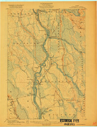
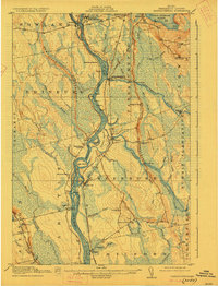
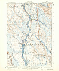
Other maps of this area

1902 · Orono
USGS Topo · 1:62,500

1902 · Bangor
USGS Topo · 1:62,500

1917 · Passadumkeag
USGS Topo · 1:62,500

1920 · Winn
USGS Topo · 1:62,500

1929 · Great Pond
USGS Topo · 1:48,000

1931 · Saponac
USGS Topo · 1:48,000

1932 · Great Pond
USGS Topo · 1:62,500

1933 · Boyd Lake
USGS Topo · 1:62,500

1934 · Saponac
USGS Topo · 1:62,500

1942 · Lincoln
USGS Topo · 1:62,500