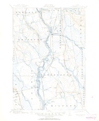
1917 Map of Passadumkeag
USGS Topo · Published 1950About this map
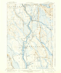
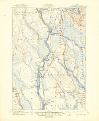
The Penobscot River serves as the central artery for this Penobscot County landscape, defining the boundaries and economic life of riverfront settlements like Passadumkeag, Olamon, and Greenbush. Surveyed in 1915, the map captures a period when the river was essential for log driving and transport, evidenced by complex water features like Thorofare and Long Thorofare. Small rural schoolhouses, including the Edinburg School and Dam School, are scattered across the townships, marking the centers of localized communities. To the east, the Central Maine Road parallels the river, connecting Enfield Sta to Costigan. The terrain is characterized by the distinctive Horseback ridges and a dense network of water bodies such as Cold Stream and Sunkhaze Stream, illustrating the intricate drainage patterns of the Maine woods before modern development altered these traditional routes and landmarks.
Find a feature on this map
90 named features on this map. Tap any name to fly to it.
Don’t see what you’re looking for? This feature index may not catch every label — zoom into the map to look around manually.
Map Details
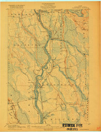
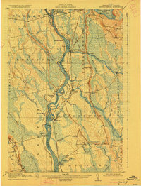
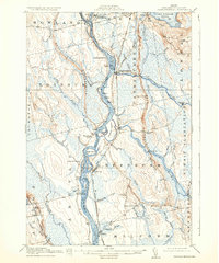
Editions of this 1917 Passadumkeag Map
7 editions found
Other maps of this area

1902 · Orono
USGS Topo · 1:62,500

1902 · Bangor
USGS Topo · 1:62,500

1917 · Passadumkeag
USGS Topo · 1:62,500

1920 · Winn
USGS Topo · 1:62,500

1929 · Great Pond
USGS Topo · 1:48,000

1931 · Saponac
USGS Topo · 1:48,000

1932 · Great Pond
USGS Topo · 1:62,500

1933 · Boyd Lake
USGS Topo · 1:62,500

1934 · Saponac
USGS Topo · 1:62,500

1942 · Lincoln
USGS Topo · 1:62,500