
1917 Map of Passadumkeag
USGS Topo · Published 1917About this map
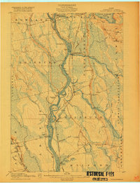
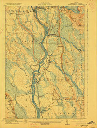
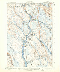
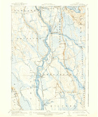
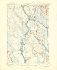
The Penobscot River serves as the central artery of this 1915 survey, flowing south through a corridor defined by numerous islands and shoreline settlements. The Maine Central Railroad closely follows the river's eastern bank, linking Enfield, Passadumkeag, and Olamon. This rail-and-river network supported a landscape of small rural communities, each anchored by its own local education center, such as the Edinburg School and Spearin School.
Find a feature on this map
70 named features on this map. Tap any name to fly to it.
Don’t see what you’re looking for? This feature index may not catch every label — zoom into the map to look around manually.
Map Details
Editions of this 1917 Passadumkeag Map
7 editions found
Other maps of this area

1902 · Orono
USGS Topo · 1:62,500

1902 · Bangor
USGS Topo · 1:62,500

1920 · Winn
USGS Topo · 1:62,500

1929 · Great Pond
USGS Topo · 1:48,000

1931 · Saponac
USGS Topo · 1:48,000

1932 · Great Pond
USGS Topo · 1:62,500

1933 · Boyd Lake
USGS Topo · 1:62,500

1934 · Saponac
USGS Topo · 1:62,500

1942 · Lincoln
USGS Topo · 1:62,500

1942 · Bangor
USGS Topo · 1:62,500