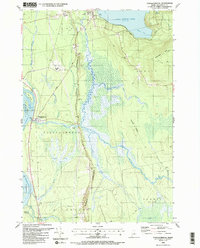
1988 Map of Passadumkeag
USGS Topo · Published 1988About this map
Penobscot River waters define the western boundary of this territory, where the settlement of Passadumkeag sits at the confluence with the Passadumkeag River. The landscape is dominated by a prominent glacial ridge known as the Horseback, which runs north-south and serves as a natural corridor for the Enfield Road. This landform separates the active river valley from the expansive interior wetlands, including the Thousand Acre Bog.
Find a feature on this map
44 named features on this map. Tap any name to fly to it.
Don’t see what you’re looking for? This feature index may not catch every label — zoom into the map to look around manually.
Map Details
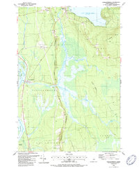
Editions of this 1988 Passadumkeag Map
2 editions found
Other maps of this area

1917 · Passadumkeag
USGS Topo · 1:62,500

1920 · Winn
USGS Topo · 1:62,500

1931 · Saponac
USGS Topo · 1:48,000

1934 · Saponac
USGS Topo · 1:62,500

1942 · Lincoln
USGS Topo · 1:62,500

1954 · Millinocket
USGS Topo · 1:250,000

1957 · Lincoln
USGS Topo · 1:62,500

1957 · Saponac
USGS Topo · 1:62,500

1958 · Millinocket
USGS Topo · 1:250,000

1960 · Millinocket
USGS Topo · 1:250,000