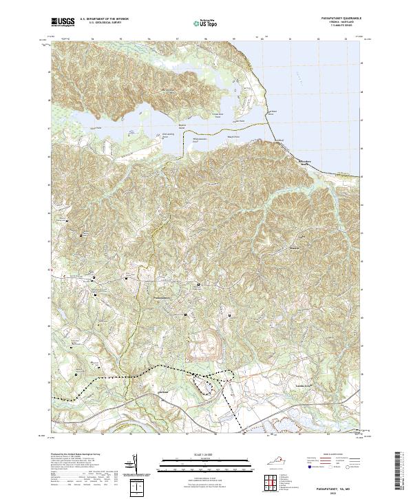
2022 Map of Passapatanzy
USGS Topo · Published 2022About this map
Marlborough Neck and the surrounding riverfront of the Potomac River characterize this portion of King George and Stafford Counties. The landscape is heavily marked by small rural settlements and a dense concentration of family and community burial grounds, such as the Pratt Family Cem, Williams Family Cem, and Taliaferro Cem. These small nodes of settlement are connected by a network of local roads including Caledon Rd and Belle Plains RD, which wind through the complex topography of the coastal plain.
Find a feature on this map
138 named features on this map. Tap any name to fly to it.
Don’t see what you’re looking for? This feature index may not catch every label — zoom into the map to look around manually.
Map Details
Editions of this 2022 Passapatanzy Map
This is the sole edition of this map. No revisions or reprints were ever made.
Other maps of this area

1889 · Fredericksburg
USGS Topo · 1:125,000

1892 · Fredericksburg
USGS Topo · 1:125,000

1894 · Fredericksburg
USGS Topo · 1:125,000

1913 · Nanjemoy
USGS Topo · 1:62,500

1926 · Stafford
USGS Topo · 1:62,500

1931 · Stafford
USGS Topo · 1:62,500

1942 · Guinea
USGS Topo · 1:31,680

1942 · Port Royal
USGS Topo · 1:31,680

1942 · Rappahannock Academy
USGS Topo · 1:31,680
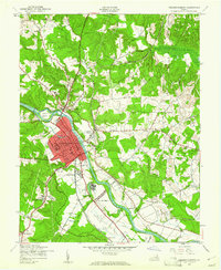
1943 · Fredericksburg
USGS Topo · 1:24,000