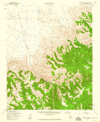
1958 Map of Pastoria Creek
USGS Topo · Published 1960About this map
El Tejon and La Liebre lands define this section of the Tehachapi Mountains during the late 1950s, where the transition from the San Joaquin Valley floor to high ridgelines is marked by steep canyons and resource extraction. The drainage of Pastoria Creek cuts through the center of the sheet, flanked by the rugged terrain of Liveoak Canyon and Bear Trap Canyon. Industrial and agricultural footprints are visible in the lowlands, including an Oil Well and a Pipeline that underscore the region's mid-century utility.
Find a feature on this map
19 named features on this map. Tap any name to fly to it.
Don’t see what you’re looking for? This feature index may not catch every label — zoom into the map to look around manually.
Map Details
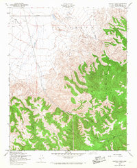
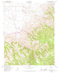
Editions of this 1958 Pastoria Creek Map
3 editions found
Other maps of this area

1903 · Tejon
USGS Topo · 1:125,000

1914 · Caliente
USGS Topo · 1:125,000

1931 · West of Tejon Hills
USGS Topo · 1:31,680

1931 · Tejon Hills
USGS Topo · 1:31,680

1933 · Tejon Hills
USGS Topo · 1:31,680
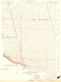
1934 · West of Tejon Hills
USGS Topo · 1:31,680

1942 · Tecuya Creek
USGS Topo · 1:24,000

1942 · Frazier Mountain
USGS Topo · 1:24,000

1943 · Cummings Mountain
USGS Topo · 1:62,500

1943 · Neenach
USGS Topo · 1:62,500