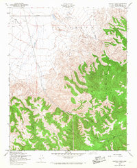
1958 Map of Pastoria Creek
USGS Topo · Published 1968About this map
El Tejon dominates the northern landscape of this California interior, where the high desert meets the rising foothills of the Tehachapi Mountains. The 1958 revision shows a transition between industrial activity and steep, natural drainage systems. Evidence of early petroleum exploration appears in the northwest with several Oil Well symbols, while a Pipeline traverses the southern canyons. Significant topographic relief is defined by Liveoak Canyon and Bear Trap Canyon, which feed into the primary waterway of Pastoria Creek. This document captures the land use within the Los Alamos y Agua Caliente land grant, showing the sparse infrastructure of the era consisting largely of isolated Jeep Trails and a few remote points like Knapp. The presence of a permanent Spring in the central hills highlights the critical importance of water sources in this arid ranching and resource territory.
Find a feature on this map
11 named features on this map. Tap any name to fly to it.
Don’t see what you’re looking for? This feature index may not catch every label — zoom into the map to look around manually.
Map Details
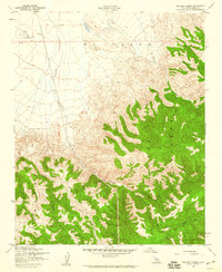
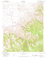
Editions of this 1958 Pastoria Creek Map
3 editions found
Other maps of this area

1903 · Tejon
USGS Topo · 1:125,000

1914 · Caliente
USGS Topo · 1:125,000

1931 · West of Tejon Hills
USGS Topo · 1:31,680

1931 · Tejon Hills
USGS Topo · 1:31,680

1933 · Tejon Hills
USGS Topo · 1:31,680
1934 · West of Tejon Hills
USGS Topo · 1:31,680

1942 · Tecuya Creek
USGS Topo · 1:24,000

1942 · Frazier Mountain
USGS Topo · 1:24,000

1943 · Cummings Mountain
USGS Topo · 1:62,500

1943 · Neenach
USGS Topo · 1:62,500