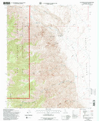
1994 Map of Pat Keyes Canyon
USGS Topo · Published 1997About this map
The Inyo Mountains dominate the western terrain of this map, falling sharply toward the floor of the Saline Valley to the east. This transition is marked by deep drainage systems such as Paiute Canyon, Pat Keyes Canyon, and McElvoy Canyon. Evidence of historical industry and difficult logistics is present in the numerous prospects and the Grey Eagle Mine, which is linked to lower elevations by a cableway. Local resource use and accessibility in this arid environment are highlighted by the presence of Badwater Springs and a landing strip near Willow Creek Camp. Most of the high ground is managed under the Inyo National Forest and the Inyo Mountains Wilderness, reflecting the region's preservation within the larger California desert landscape during the late twentieth century.
Find a feature on this map
20 named features on this map. Tap any name to fly to it.
Don’t see what you’re looking for? This feature index may not catch every label — zoom into the map to look around manually.
Map Details
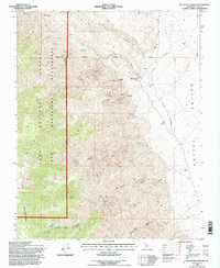
Editions of this 1994 Pat Keyes Canyon Map
2 editions found
Other maps of this area

1907 · Mt. Whitney
USGS Topo · 1:125,000

1908 · Ballarat
USGS Topo · 1:250,000

1913 · Ballarat
USGS Topo · 1:250,000

1919 · Mt. Whitney
USGS Topo · 1:125,000

1937 · Mt. Whitney
USGS Topo · 1:125,000

1948 · Death Valley
USGS Topo · 1:250,000

1948 · Fresno
USGS Topo · 1:250,000

1950 · New York Butte
USGS Topo · 1:62,500

1951 · New York Butte
USGS Topo · 1:62,500

1951 · Waucoba Wash
USGS Topo · 1:62,500