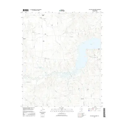
2016 Map of Pat Mayse Lake West
USGS Topo · Published 2016About this map
Garretts Bluff and the surrounding prairie lands of northwestern Lamar County are defined by a network of rural settlements and cemeteries north of Paris, Texas. This landscape transitions from the agricultural reaches of Parson Field and Round Prairie toward the expansive waters of Pat Mayse Lake in the east. The map provides significant detail for genealogists, identifying family and community landmarks such as Community Hall Cem and Post Oak Cem.
Find a feature on this map
53 named features on this map. Tap any name to fly to it.
Don’t see what you’re looking for? This feature index may not catch every label — zoom into the map to look around manually.
Map Details
Editions of this 2016 Pat Mayse Lake West Map
This is the sole edition of this map. No revisions or reprints were ever made.
Other maps of this area

1903 · Paris
USGS Topo · 1:125,000

1947 · Honey Grove
USGS Topo · 1:62,500

1948 · Grant
USGS Topo · 1:62,500

1948 · Paris
USGS Topo · 1:62,500

1948 · Direct
USGS Topo · 1:62,500

1949 · Direct
USGS Topo · 1:62,500

1949 · Honey Grove
USGS Topo · 1:62,500

1949 · Grant
USGS Topo · 1:62,500

1949 · Paris
USGS Topo · 1:62,500

1953 · Texarkana
USGS Topo · 1:250,000