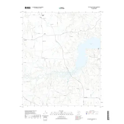
2019 Map of Pat Mayse Lake West
USGS Topo · Published 2019About this map
Garretts Bluff and Belk anchor the rural landscape of Lamar County in this 2019 survey, an area defined by the massive eastern reach of Pat Mayse Lake. The map details a transition from the structured farm plots around Round Prairie and Ragtown to the complex wetlands and inlets formed where Sanders Creek and Craddock Cr meet the reservoir. For genealogists and local historians, the sheet is exceptionally useful for its precise location of small, family-linked burial grounds including Community Hall Cem, Post Oak Cem, Sumner Cem, and Caviness Cem. The road network, including FM 1499 and FM 197, connects these dispersed settlements and historical sites, while names like Parson Field and Lamar Point preserve local landmarks in a region largely defined by its relationship to the water and the Red River valley to the north.
Find a feature on this map
52 named features on this map. Tap any name to fly to it.
Don’t see what you’re looking for? This feature index may not catch every label — zoom into the map to look around manually.
Map Details
Editions of this 2019 Pat Mayse Lake West Map
This is the sole edition of this map. No revisions or reprints were ever made.
Other maps of this area

1903 · Paris
USGS Topo · 1:125,000

1947 · Honey Grove
USGS Topo · 1:62,500

1948 · Grant
USGS Topo · 1:62,500

1948 · Paris
USGS Topo · 1:62,500

1948 · Direct
USGS Topo · 1:62,500

1949 · Direct
USGS Topo · 1:62,500

1949 · Honey Grove
USGS Topo · 1:62,500

1949 · Grant
USGS Topo · 1:62,500

1949 · Paris
USGS Topo · 1:62,500

1953 · Texarkana
USGS Topo · 1:250,000