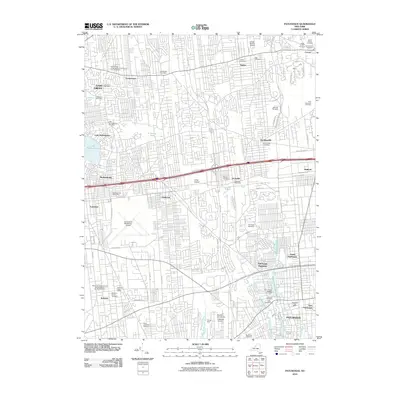
2010 Map of Patchogue
USGS Topo · Published 2010About this map
The dense suburban corridor of central Long Island is charted here at the start of the 2010s, showing a complex landscape of established residential blocks and critical infrastructure. The map is anchored by the large Long Island MacArthur Airport and smaller aviation facilities like Bayport Aerodrome and Hough-McGee Airport. Significant attention is paid to the area's numerous historic burial grounds, including the Johah Smith Cemetery, Old Coram Cemetery, and the expansive Holy Sepulchre Cemetery.
Find a feature on this map
68 named features on this map. Tap any name to fly to it.
Don’t see what you’re looking for? This feature index may not catch every label — zoom into the map to look around manually.
Map Details
Editions of this 2010 Patchogue Map
This is the sole edition of this map. No revisions or reprints were ever made.
Other maps of this area

1902 · Setauket
USGS Topo · 1:62,500

1902 · Fire Island
USGS Topo · 1:62,500

1903 · Fire Island
USGS Topo · 1:62,500

1904 · Setauket
USGS Topo · 1:62,500

1904 · Islip
USGS Topo · 1:125,000

1904 · Moriches
USGS Topo · 1:62,500

1919 · Setauket
USGS Topo · 1:62,500

1942 · Islip
USGS Topo · 1:125,000

1944 · Bay Shore East
USGS Topo · 1:24,000
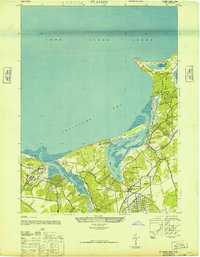
1947 · St James
USGS Topo · 1:24,000