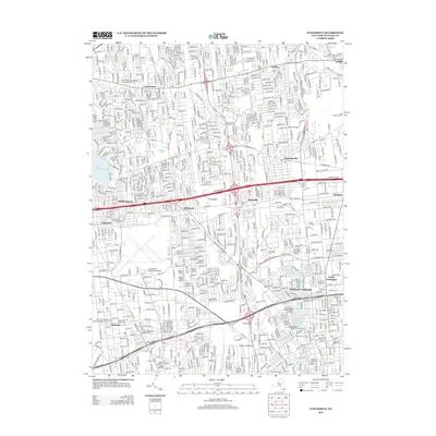
2013 Map of Patchogue
USGS Topo · Published 2013About this map
Lake Ronkonkoma anchors the western edge of this central Long Island landscape, where suburban growth and transportation networks define the modern era. The map illustrates a dense residential corridor stretching between Centereach and North Patchogue, bisected by the heavy infrastructure of the Long Island railroad and major arteries like the Sunrise Hwy. This geography is a mix of educational institutions, such as Suffolk County Community Coll, and significant aviation sites including the Long Island Mac Arthur Airport.
Find a feature on this map
43 named features on this map. Tap any name to fly to it.
Don’t see what you’re looking for? This feature index may not catch every label — zoom into the map to look around manually.
Map Details
Editions of this 2013 Patchogue Map
This is the sole edition of this map. No revisions or reprints were ever made.
Other maps of this area

1902 · Setauket
USGS Topo · 1:62,500

1902 · Fire Island
USGS Topo · 1:62,500

1903 · Fire Island
USGS Topo · 1:62,500

1904 · Setauket
USGS Topo · 1:62,500

1904 · Islip
USGS Topo · 1:125,000

1904 · Moriches
USGS Topo · 1:62,500

1919 · Setauket
USGS Topo · 1:62,500

1942 · Islip
USGS Topo · 1:125,000

1944 · Bay Shore East
USGS Topo · 1:24,000
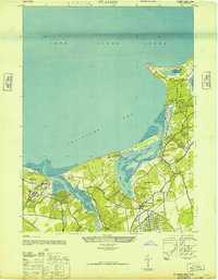
1947 · St James
USGS Topo · 1:24,000