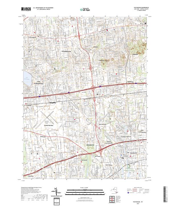
2023 Map of Patchogue
USGS Topo · Published 2023About this map
Lake Ronkonkoma anchors the northwest corner of this detailed coastal quadrangle, which documents the dense suburban and industrial landscape of central Long Island. The region is defined by a series of north-south hamlets including Lake Grove, Selden, and Sayville, linked by major arteries like the Expressway Dr and Sunrise Hwy. The area around Patchogue remains a primary hub, situated near the head of the Patchogue River and West Lake.
Find a feature on this map
49 named features on this map. Tap any name to fly to it.
Don’t see what you’re looking for? This feature index may not catch every label — zoom into the map to look around manually.
Map Details
Editions of this 2023 Patchogue Map
This is the sole edition of this map. No revisions or reprints were ever made.
Other maps of this area

1902 · Setauket
USGS Topo · 1:62,500

1902 · Fire Island
USGS Topo · 1:62,500

1903 · Fire Island
USGS Topo · 1:62,500

1904 · Setauket
USGS Topo · 1:62,500

1904 · Islip
USGS Topo · 1:125,000

1904 · Moriches
USGS Topo · 1:62,500

1919 · Setauket
USGS Topo · 1:62,500

1942 · Islip
USGS Topo · 1:125,000

1944 · Bay Shore East
USGS Topo · 1:24,000
1947 · St James
USGS Topo · 1:24,000