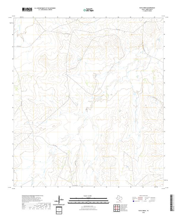
2022 Map of Pato Creek
USGS Topo · Published 2022About this map
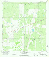
Becerra Cr and Mule Cr define the drainage patterns of this South Texas landscape in Webb County. The terrain is crisscrossed by a network of ranch and access roads that reflect the area's rural and agricultural character. Routes such as Callaghan Rd and Don Chema Rd provide the primary infrastructure through the brushland, while more specialized tracks like Ranch Rd 7250D and Ranch Rd 7230C indicate the managed nature of the surrounding territory. The drainage of Carrizitos Cr in the northwest and San Carlos Cr in the southwest highlights the subtle topographic shifts that dictate the placement of local thoroughfares like Lincoln Nicholson Rd. This survey documents the contemporary parceling and accessibility of the region, where seasonal creeks and long-established ranch roads remain the most significant landmarks.
Find a feature on this map
10 named features on this map. Tap any name to fly to it.
Don’t see what you’re looking for? This feature index may not catch every label — zoom into the map to look around manually.
Map Details
Editions of this 2022 Pato Creek Map
This is the sole edition of this map. No revisions or reprints were ever made.
Other maps of this area

1937 · Aguilete Creek
USGS Topo · 1:62,500

1956 · Becerra
USGS Topo · 1:62,500

1956 · Laredo East
USGS Topo · 1:62,500

1956 · Webb
USGS Topo · 1:62,500

1956 · Laredo
USGS Topo · 1:250,000

1965 · Cibolo Ranch
USGS Topo · 1:24,000
1980 · Alamito Creek
USGS Topo · 1:24,000
1980 · Callaghan Ranch SE
USGS Topo · 1:24,000
1980 · Venado Creek West
USGS Topo · 1:24,000
1980 · Piedra Parada Ranch
USGS Topo · 1:24,000