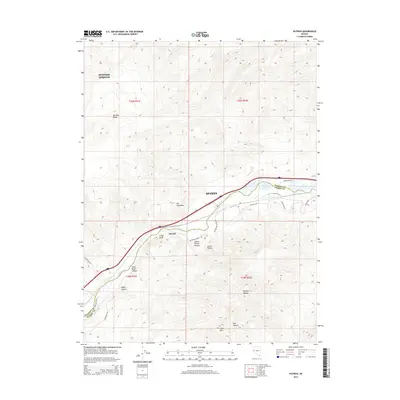
2014 Map of Patrick
USGS Topo · Published 2014About this map
The Truckee River carves a critical path through the arid high desert of Washoe County, serving as the central corridor for both natural drainage and modern infrastructure. This 2014 survey captures a moment where the river is flanked by the Interstate 80 E and a network of industrial and agricultural access points like McCarran Ranch and Waltham Way. The geography is defined by significant elevation changes between the Pah Rah Range to the north and the Virginia Range to the south, with the small settlement of Patrick and the eastern fringes of Sparks occupying the lower valley floors.
Find a feature on this map
28 named features on this map. Tap any name to fly to it.
Don’t see what you’re looking for? This feature index may not catch every label — zoom into the map to look around manually.
Map Details
Editions of this 2014 Patrick Map
This is the sole edition of this map. No revisions or reprints were ever made.
Other maps of this area

1890 · Wadsworth
USGS Topo · 1:125,000

1891 · Carson
USGS Topo · 1:125,000

1891 · Wabuska
USGS Topo · 1:125,000

1891 · Reno
USGS Topo · 1:125,000

1892 · Wadsworth
USGS Topo · 1:125,000

1893 · Carson
USGS Topo · 1:125,000

1893 · Reno
USGS Topo · 1:125,000

1894 · Wadsworth
USGS Topo · 1:125,000

1894 · Wabuska
USGS Topo · 1:125,000

1950 · Virginia City
USGS Topo · 1:62,500