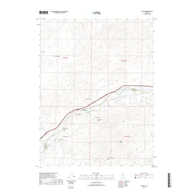
2018 Map of Patrick
USGS Topo · Published 2018About this map
The Truckee River carves a central path through this section of the Nevada desert, serving as a vital corridor between the Pah Rah Range to the north and the Virginia Range to the south. This 2018 survey captures the interface of the high desert landscape and modern infrastructure, where the settlement of Patrick and the curious label of Old Lonesome sit near the riverbanks. The terrain is defined by dramatic elevation changes, notably at Giants Throne and the high peaks of Clark Mtn.
Find a feature on this map
24 named features on this map. Tap any name to fly to it.
Don’t see what you’re looking for? This feature index may not catch every label — zoom into the map to look around manually.
Map Details
Editions of this 2018 Patrick Map
This is the sole edition of this map. No revisions or reprints were ever made.
Other maps of this area

1890 · Wadsworth
USGS Topo · 1:125,000

1891 · Carson
USGS Topo · 1:125,000

1891 · Wabuska
USGS Topo · 1:125,000

1891 · Reno
USGS Topo · 1:125,000

1892 · Wadsworth
USGS Topo · 1:125,000

1893 · Carson
USGS Topo · 1:125,000

1893 · Reno
USGS Topo · 1:125,000

1894 · Wadsworth
USGS Topo · 1:125,000

1894 · Wabuska
USGS Topo · 1:125,000

1950 · Virginia City
USGS Topo · 1:62,500