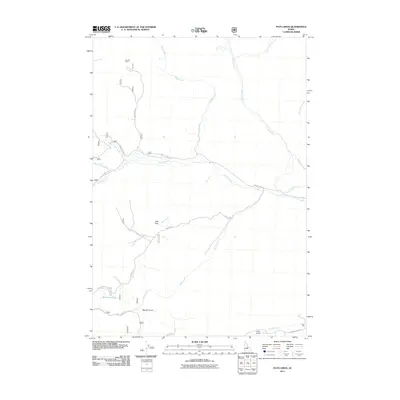
2011 Map of Pats Creek
USGS Topo · Published 2011About this map
Pats Creek and its many tributaries, including Eddy Creek and Darling Creek, carve through this central Idaho landscape. The settlement of Transfer Camp sits in the northwest, serving as a rare point of human habitation in a region dominated by drainage networks and gulches. The terrain is defined by dramatic elevation changes, where named features like Big Hill Gulch and John Gulch descend toward larger water bodies such as Challis Creek.
Find a feature on this map
21 named features on this map. Tap any name to fly to it.
Don’t see what you’re looking for? This feature index may not catch every label — zoom into the map to look around manually.
Map Details
Editions of this 2011 Pats Creek Map
This is the sole edition of this map. No revisions or reprints were ever made.
Other maps of this area

1929 · Bayhorse
USGS Topo · 1:125,000

1956 · Challis
USGS Topo · 1:62,500

1956 · Twin Peaks
USGS Topo · 1:62,500

1957 · Challis
USGS Topo · 1:250,000

1960 · Challis
USGS Topo · 1:250,000

1963 · Challis
USGS Topo · 1:250,000

1963 · Bayhorse Lake
USGS Topo · 1:24,000

1963 · Bayhorse
USGS Topo · 1:24,000

1963 · Clayton
USGS Topo · 1:62,500

1963 · Lone Pine Peak
USGS Topo · 1:62,500