
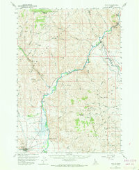
1956 Map of Challis
USGS Topo · Published 1960About this map
Challis stands as the central settlement in this mid-century survey, situated within the broad expanse of Round Valley. The town's infrastructure at this time includes the Challis Airfield, a Ranger Sta, and a Radio Relay Sta, reflecting its role as a regional hub for forest management and local communication. The surrounding landscape is defined by the Challis National Forest and the confluence of major waterways, where the Pahsimeroi River meets the Salmon River near the small community of Ellis.
Find a feature on this map
74 named features on this map. Tap any name to fly to it.
Don’t see what you’re looking for? This feature index may not catch every label — zoom into the map to look around manually.
Map Details
Editions of this 1956 Challis Map
2 editions found
Other maps of this area

1929 · Bayhorse
USGS Topo · 1:125,000

1935 · Borah Peak
USGS Topo · 1:125,000

1938 · Borah Peak
USGS Topo · 1:125,000

1955 · Dubois
USGS Topo · 1:250,000

1956 · Doublespring
USGS Topo · 1:62,500

1956 · May
USGS Topo · 1:62,500

1956 · Twin Peaks
USGS Topo · 1:62,500

1957 · Challis
USGS Topo · 1:250,000

1958 · Dubois
USGS Topo · 1:250,000

1960 · Challis
USGS Topo · 1:250,000