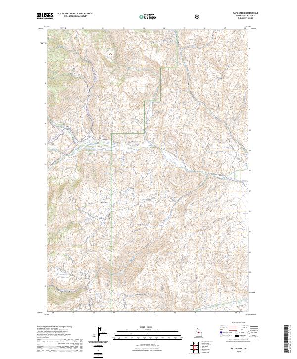
2024 Map of Pats Creek
USGS Topo · Published 2024About this map
Challis National Forest dominates this section of the central Idaho mountains, where a network of trails and forestry roads reveals the complex drainage patterns of the Salmon River mountains. The high-altitude landscape is defined by its water sources, including the headwaters of Pats Creek and the notable Slab Barn Lake in the southern reaches. Steep drainages like Cartwright Gulch and Mill Creek cut through the terrain, separated by high plateaus such as Jeffs Flats. Transportation through these backcountry reaches relies on historical routes including the Custer Motor Way and the Loomis-Eddy Creek Trl, which connect the various creek valleys. The map illustrates a contemporary era of forest management and recreational access, tracing named trails such as the Twin Peaks Road Trl and White Valley Road Trl through the protected forest boundaries.
Find a feature on this map
33 named features on this map. Tap any name to fly to it.
Don’t see what you’re looking for? This feature index may not catch every label — zoom into the map to look around manually.
Map Details
Editions of this 2024 Pats Creek Map
This is the sole edition of this map. No revisions or reprints were ever made.
Other maps of this area

1929 · Bayhorse
USGS Topo · 1:125,000

1956 · Challis
USGS Topo · 1:62,500

1956 · Twin Peaks
USGS Topo · 1:62,500

1957 · Challis
USGS Topo · 1:250,000

1960 · Challis
USGS Topo · 1:250,000

1963 · Challis
USGS Topo · 1:250,000

1963 · Bayhorse Lake
USGS Topo · 1:24,000

1963 · Bayhorse
USGS Topo · 1:24,000

1963 · Clayton
USGS Topo · 1:62,500

1963 · Lone Pine Peak
USGS Topo · 1:62,500