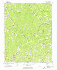
1964 Map of Patterson
USGS Topo · Published 1975About this map
Patterson sits at the confluence of several mountain branches, serving as a hub for industrial and transportation activity in mid-century Buchanan County. The landscape is defined by its extraction-based economy, evidenced by the numerous mines and gas wells that dot the ridges and hollows. Infrastructure like the Norfolk And Western railroad, a conveyor, and a tipple illustrate the logistics of moving materials out of the valley near Dismal Creek.
Find a feature on this map
99 named features on this map. Tap any name to fly to it.
Don’t see what you’re looking for? This feature index may not catch every label — zoom into the map to look around manually.
Map Details
Editions of this 1964 Patterson Map
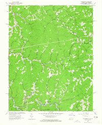
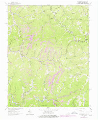
Other maps of this area

1886 · Grundy
USGS Topo · 1:125,000

1890 · Grundy
USGS Topo · 1:125,000

1891 · Tazewell
USGS Topo · 1:125,000

1892 · Grundy
USGS Topo · 1:125,000

1895 · Tazewell
USGS Topo · 1:125,000

1897 · Tazewell
USGS Topo · 1:125,000

1910 · Iaeger
USGS Topo · 1:48,000

1912 · Iaeger
USGS Topo · 1:62,500

1914 · Bucu
USGS Topo · 1:48,000

1914 · Iaeger
USGS Topo · 1:48,000