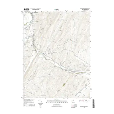
2016 Map of Patterson Creek
USGS Topo · Published 2016About this map
The North Branch Potomac River serves as the winding boundary between Maryland and West Virginia, anchoring a landscape defined by sharp ridges and deep hollows. This area is dominated by the Chesapeake and Ohio Canal National Historical Park, where the legacy of nineteenth-century transportation is preserved along the C&O Canal Towpath. The map highlights engineering feats such as the Evitts Creek Aqueduct and the historical significance of river crossings near Wiley Ford and Oldtown.
Find a feature on this map
56 named features on this map. Tap any name to fly to it.
Don’t see what you’re looking for? This feature index may not catch every label — zoom into the map to look around manually.
Map Details
Editions of this 2016 Patterson Creek Map
This is the sole edition of this map. No revisions or reprints were ever made.
Other maps of this area

1891 · Romney
USGS Topo · 1:125,000

1898 · Frostburg
USGS Topo · 1:62,500

1899 · Flintstone
USGS Topo · 1:62,500

1900 · Flintstone
USGS Topo · 1:62,500

1901 · Frostburg
USGS Topo · 1:62,500

1908 · Frostburg
USGS Topo · 1:62,500

1920 · Keyser
USGS Topo · 1:62,500

1921 · Keyser
USGS Topo · 1:48,000

1921 · Hanging Rock
USGS Topo · 1:48,000

1922 · Keyser
USGS Topo · 1:62,500