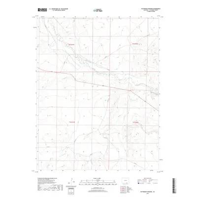
2019 Map of Patterson Crossing
USGS Topo · Published 2019About this map
The Purgatoire River winds through the high plains of southern Colorado, cutting a path through the landscape and into the Purgatoire Canyon at the eastern edge of this region. The water management in this arid territory is evidenced by the systems of the Lewelling-Mc Cormick Ditch and the Patterson Ditch, which parallel the river to support local agricultural needs. Numerous seasonal drainages and tributaries, such as San Francisco Cr, Frijole Cr, and Sauce Arroyo, underscore the complex hydrology of the canyon country. Transport across this sparsely settled terrain is facilitated by a network of county roads, including Co RD 32.0 and Co RD 22, which connect the remote ranchlands of Las Animas County.
Find a feature on this map
20 named features on this map. Tap any name to fly to it.
Don’t see what you’re looking for? This feature index may not catch every label — zoom into the map to look around manually.
Map Details
Editions of this 2019 Patterson Crossing Map
This is the sole edition of this map. No revisions or reprints were ever made.
Other maps of this area

1892 · Elmoro
USGS Topo · 1:125,000

1893 · Elmoro
USGS Topo · 1:125,000

1897 · Elmoro
USGS Topo · 1:125,000

1954 · Trinidad
USGS Topo · 1:250,000

1955 · Trinidad
USGS Topo · 1:250,000

1958 · Trinidad
USGS Topo · 1:250,000

1959 · Trinidad
USGS Topo · 1:250,000
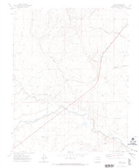
1970 · Earl
USGS Topo · 1:24,000
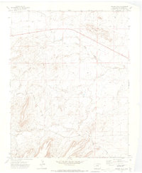
1970 · Mooney Hills
USGS Topo · 1:24,000
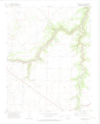
1971 · Trinchera Cave
USGS Topo · 1:24,000