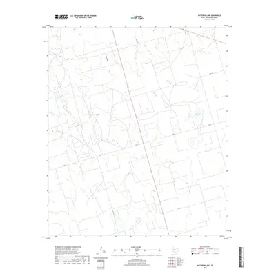
2019 Map of Patterson Lake
USGS Topo · Published 2019About this map
Patterson Lake sits within the high plains landscape of Glasscock County, representing a characteristic ephemeral water body of this arid Texas region. This 2019 survey captures the area's essential drainage patterns, most notably Meyers Draw and Thirty-six Draw, which carve subtle relief into the terrain. The map reflects a modern rural landscape organized by a strict grid of county thoroughfares, including Co RD 110 and Co RD 113, which facilitate access across large-scale ranching or agricultural tracts. This documentation of contemporary land use and hydrology serves as a precise baseline for understanding the physical geography and infrastructure of this part of West Texas in the early 21st century.
Find a feature on this map
7 named features on this map. Tap any name to fly to it.
Don’t see what you’re looking for? This feature index may not catch every label — zoom into the map to look around manually.
Map Details
Editions of this 2019 Patterson Lake Map
This is the sole edition of this map. No revisions or reprints were ever made.
Other maps of this area

1954 · San Angelo
USGS Topo · 1:250,000

1958 · San Angelo
USGS Topo · 1:250,000

1964 · Dewey Lake NE
USGS Topo · 1:24,000

1965 · San Angelo
USGS Topo · 1:250,000

1965 · Dewey Lake
USGS Topo · 1:24,000

1965 · Spraberry
USGS Topo · 1:24,000

1965 · Dewey Lake SE
USGS Topo · 1:24,000

1965 · Pecks Lake
USGS Topo · 1:24,000

1965 · Patterson Lake
USGS Topo · 1:24,000

1967 · Midkiff
USGS Topo · 1:24,000