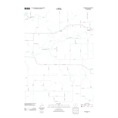
2013 Map of Patterson
USGS Topo · Published 2013About this map
Patterson and the surrounding Madison County landscape are defined by the winding paths of the Middle River and Cedar Cr. The area is home to iconic landmarks of regional heritage, including the Cedar Creek Covered Bridge near Cedar Lake and the Holliwell Covered Bridge further south along the river. These structures reflect a rural infrastructure built around the local waterways, connecting small communities and farmsteads. The settlement pattern features established hubs like Tileville and Tola, which sit amidst a grid of rural routes such as Settlers Trl and Quail Ridge Ave. This 2013 snapshot shows the persistence of small-town Iowa geography, where traditional river crossings and modern county highways like Co HWY-g4r intersect. The topography is marked by significant drainages including Jones Cr, which carves through the southern portion of the quadrangle.
Find a feature on this map
65 named features on this map. Tap any name to fly to it.
Don’t see what you’re looking for? This feature index may not catch every label — zoom into the map to look around manually.
Map Details
Editions of this 2013 Patterson Map
This is the sole edition of this map. No revisions or reprints were ever made.
Other maps of this area

1951 · Osceola
USGS Topo · 1:62,500

1951 · St. Charles
USGS Topo · 1:62,500

1951 · Afton
USGS Topo · 1:62,500

1952 · Winterset
USGS Topo · 1:62,500

1954 · Omaha
USGS Topo · 1:250,000

1954 · Des Moines
USGS Topo · 1:250,000

1956 · Des Moines
USGS Topo · 1:250,000

1957 · Des Moines
USGS Topo · 1:250,000

1957 · Omaha
USGS Topo · 1:250,000

1958 · Omaha
USGS Topo · 1:250,000