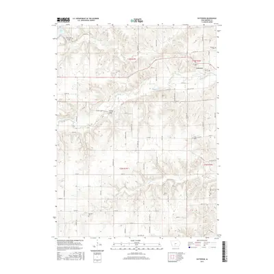
2015 Map of Patterson
USGS Topo · Published 2015About this map
Middle River meanders across this Madison County landscape, carved by tributaries like Jones Cr and Cedar Cr. The town of Patterson serves as a focal point in the northeast, while the surrounding countryside preserves notable landmarks of local heritage. Two historic spans, the Holliwell Covered Bridge and the Cedar Creek Covered Bridge, are documented here, representing the region's famous collection of timber bridges. Genealogists will find a high density of rural burial sites, including Montpelier Cem, McGinnis Cem, Union Chapel Cem, King Cem, Sayre Cem, and Beardsley Cem. The terrain is crisscrossed by named routes such as Hiatt Apple Trl and Settlers Trl, which connect scattered homesteads to Cedar Lake in the northwest. This topography illustrates the persistent agrarian character of central Iowa, where township boundaries like t76n r27w intersect with family-named landmarks.
Find a feature on this map
63 named features on this map. Tap any name to fly to it.
Don’t see what you’re looking for? This feature index may not catch every label — zoom into the map to look around manually.
Map Details
Editions of this 2015 Patterson Map
This is the sole edition of this map. No revisions or reprints were ever made.
Other maps of this area

1951 · Osceola
USGS Topo · 1:62,500

1951 · St. Charles
USGS Topo · 1:62,500

1951 · Afton
USGS Topo · 1:62,500

1952 · Winterset
USGS Topo · 1:62,500

1954 · Omaha
USGS Topo · 1:250,000

1954 · Des Moines
USGS Topo · 1:250,000

1956 · Des Moines
USGS Topo · 1:250,000

1957 · Des Moines
USGS Topo · 1:250,000

1957 · Omaha
USGS Topo · 1:250,000

1958 · Omaha
USGS Topo · 1:250,000