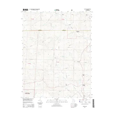
2015 Map of Patton
USGS Topo · Published 2015About this map
Heitmans Mill and the unincorporated community of Yount sit along the northern boundary of this Missouri landscape, where the terrain is defined by the winding paths of Upper Whitewater Cr and its many tributaries. The area exhibits a dispersed rural settlement pattern typical of the Ozark foothills, connected by a network of county roads like Co Road 722 and Co Road 914. Further south, the map documents the proximity of North Patton, Patton Junction, and Patton, centered around the intersection of regional transit routes.
Find a feature on this map
63 named features on this map. Tap any name to fly to it.
Don’t see what you’re looking for? This feature index may not catch every label — zoom into the map to look around manually.
Map Details
Editions of this 2015 Patton Map
This is the sole edition of this map. No revisions or reprints were ever made.
Other maps of this area
1910 · Higdon
USGS Topo · 1:62,500
1923 · Perryville
USGS Topo · 1:62,500
1924 · Perryville
USGS Topo · 1:62,500
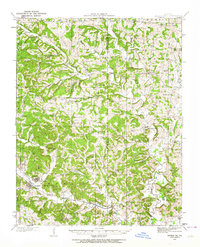
1933 · Marble Hill
USGS Topo · 1:62,500
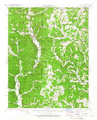
1933 · Marquand
USGS Topo · 1:62,500
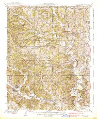
1937 · Marble Hill
USGS Topo · 1:62,500
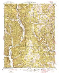
1938 · Marquand
USGS Topo · 1:62,500
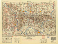
1949 · Paducah
USGS Topo · 1:250,000

1949 · Rolla
USGS Topo · 1:250,000
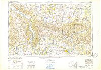
1950 · Paducah
USGS Topo · 1:250,000