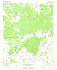
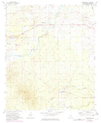
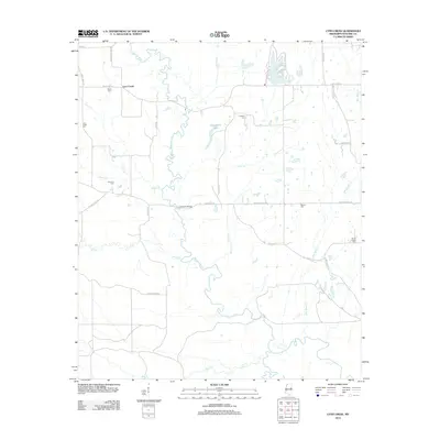
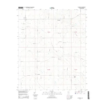
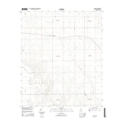
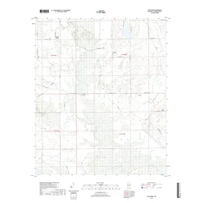
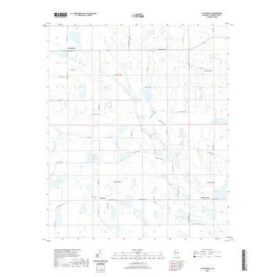
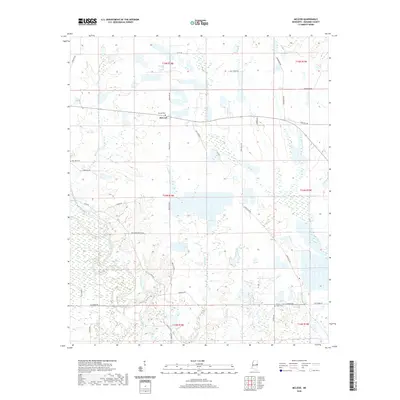
1973 Map of Paulette
USGS Topo · Published 1975About this map
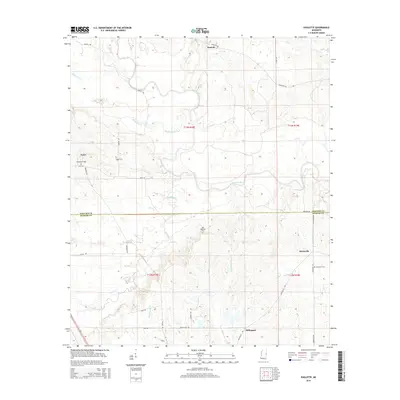
The Noxubee River carves a winding path across this East Mississippi landscape, marking the boundary between the northern and southern halves of the quadrangle. In the early 1970s, this rural area remained dotted with small crossroads settlements like Paulette and Calyx, the latter of which is anchored by Woodlawn Cem. The southern reach of the survey is defined by the Noxubee Co Kemper Co line, where the terrain transitions into the drainage basins of Wahalak Creek and Shy Hammock Creek. Genealogists will find a high density of rural landmarks, particularly in the vicinity of Binnsville, where both Binnsville Cem and nearby Old Wahalak Cem provide clues to early family burial sites. The presence of Mt Ararat Ch and Providence Ch further illustrates the importance of small community centers in this timbered river-bottom region.
Find a feature on this map
23 named features on this map. Tap any name to fly to it.
Don’t see what you’re looking for? This feature index may not catch every label — zoom into the map to look around manually.
Map Details
Editions of this 1973 Paulette Map
This is the sole edition of this map. No revisions or reprints were ever made.
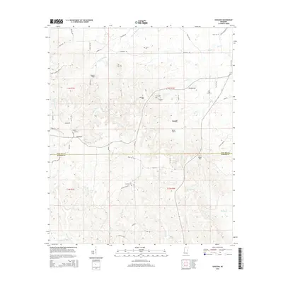
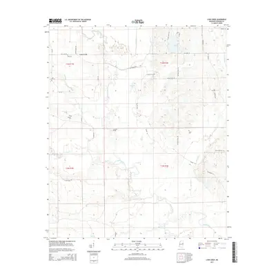
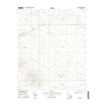
Historical Maps of Calyx Through Time
36 maps found
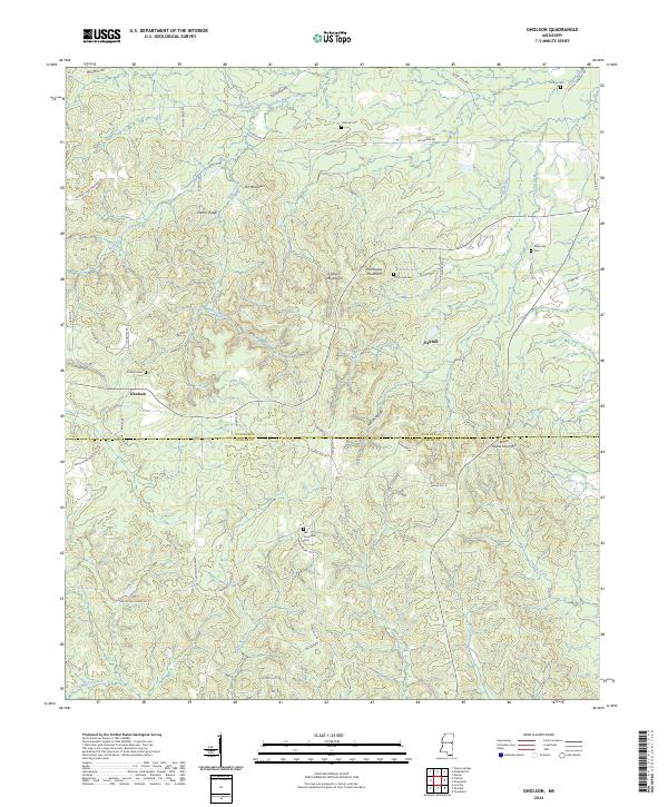
1963 Gholson
Noxubee County, MS
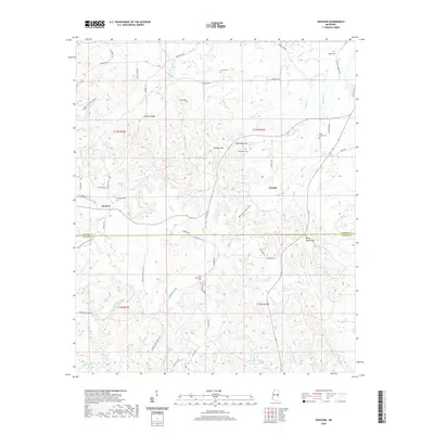
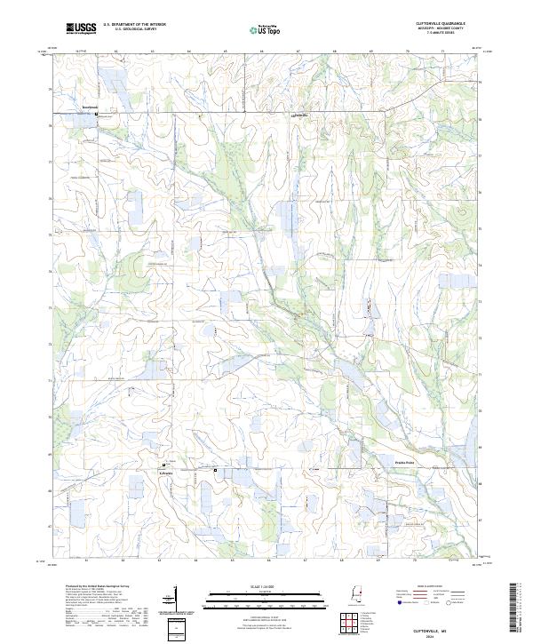
1973 Cliftonville
Noxubee County, MS
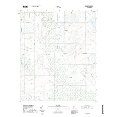
1973 Lynn Creek
Noxubee County, MS
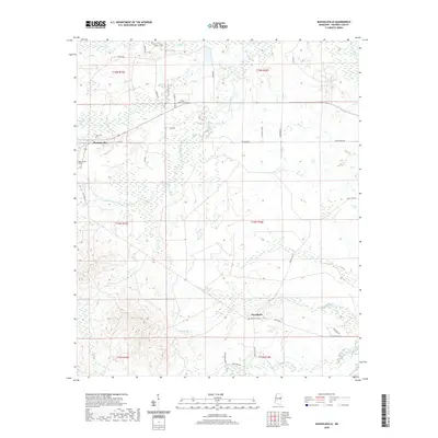
1973 Mashulaville
Noxubee County, MS
1973 McLeod
Noxubee County, MS
1973 Paulette
Noxubee County, MS
2012 Cliftonville
Noxubee County, MS
2012 Gholson
Noxubee County, MS
2012 Lynn Creek
Noxubee County, MS
2012 Mashulaville
Noxubee County, MS
2012 McLeod
Noxubee County, MS
2012 Paulette
Noxubee County, MS
2015 Cliftonville
Noxubee County, MS
2015 Gholson
Noxubee County, MS
2015 Lynn Creek
Noxubee County, MS
2015 Mashulaville
Noxubee County, MS
2015 McLeod
Noxubee County, MS
2015 Paulette
Noxubee County, MS
2018 Cliftonville
Noxubee County, MS
2018 Gholson
Noxubee County, MS
2018 Lynn Creek
Noxubee County, MS
2018 Mashulaville
Noxubee County, MS
2018 McLeod
Noxubee County, MS
2018 Paulette
Noxubee County, MS
2020 Cliftonville
Noxubee County, MS
2020 Gholson
Noxubee County, MS
2020 Lynn Creek
Noxubee County, MS
2020 Mashulaville
Noxubee County, MS
2020 McLeod
Noxubee County, MS
2020 Paulette
Noxubee County, MS
2024 Cliftonville
Noxubee County, MS
2024 Gholson
Noxubee County, MS
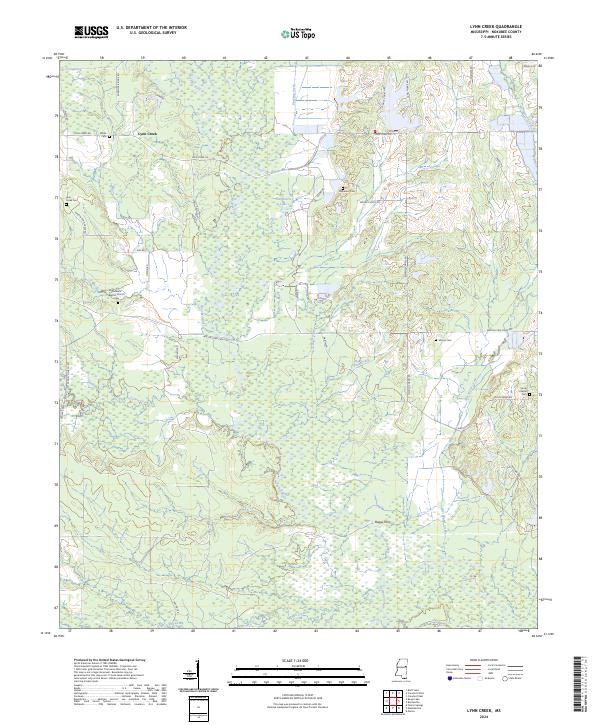
2024 Lynn Creek
Noxubee County, MS
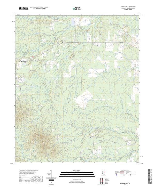
2024 Mashulaville
Noxubee County, MS
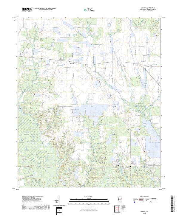
2024 McLeod
Noxubee County, MS
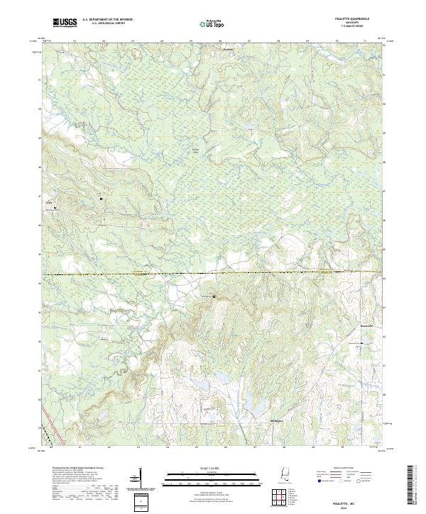
2024 Paulette
Noxubee County, MS