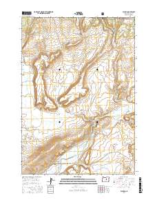
2017 Map of Paulina
USGS Topo · Published 2017About this map
Paulina serves as the central hub for this high-desert landscape in Crook County, where the settlement sits at the junction of Main St and Paulina Suplee Rd. Water management is the primary driver of this environment, evidenced by the numerous reservoirs and improved springs scattered across the terrain. To the north, the Ochoco National Forest defines the higher elevations near Buck Hollow and Antelope Spring. The map documents a complex network of topographical features with distinctive local names, including Moccasin Ridge, Sheepshooter Ridge, and XX Ridge. The Paulina Valley is carved by Paulina Creek and its tributaries, while the southern reaches are dominated by significant drainage systems like Beaver Creek and Alkali Creek. These features illustrate the ranching and forestry character of the region, where every water source, from Geodetic Reservoir to Mills Reservoir, is vital to the local geography.
Find a feature on this map
49 named features on this map. Tap any name to fly to it.
Don’t see what you’re looking for? This feature index may not catch every label — zoom into the map to look around manually.
Map Details
Editions of this 2017 Paulina Map
This is the sole edition of this map. No revisions or reprints were ever made.
Other maps of this area

1932 · Dayville
USGS Topo · 1:125,000

1936 · Dayville
USGS Topo · 1:125,000

1955 · Bend
USGS Topo · 1:250,000

1955 · Canyon City
USGS Topo · 1:250,000

1957 · Bend
USGS Topo · 1:250,000

1958 · Bend
USGS Topo · 1:250,000

1959 · Canyon City
USGS Topo · 1:250,000

1966 · Keys Creek
USGS Topo · 1:24,000

1966 · Little Summit Prairie
USGS Topo · 1:24,000

1966 · Six Corners
USGS Topo · 1:24,000