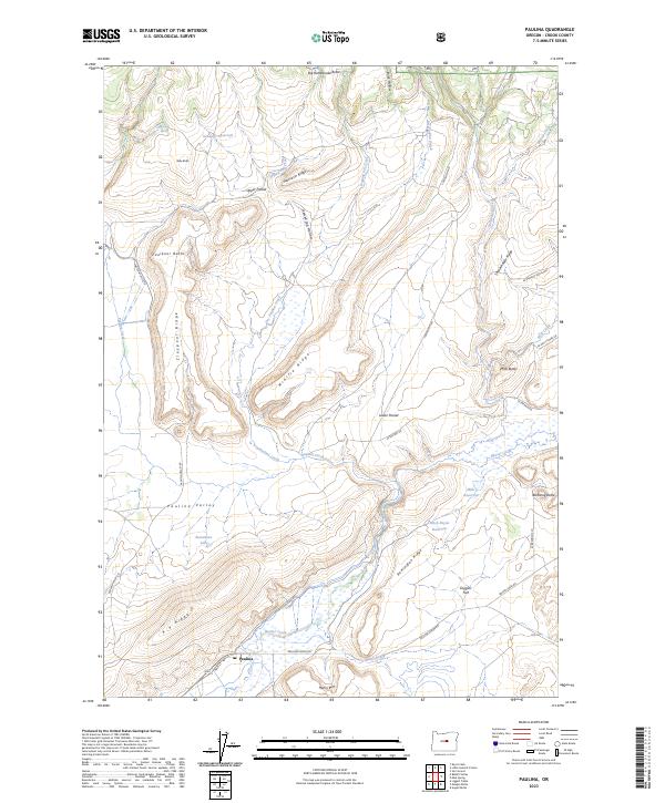
2023 Map of Paulina
USGS Topo · Published 2023About this map
The settlement of Paulina sits at the southern edge of this Crook County landscape, serving as a hub for the surrounding ranching and high-desert country. Located at the intersection of Paulina Suplee Rd and Paulina Valley Rd, the community is anchored by the local Po and the winding course of Beaver Creek. The terrain is defined by a complex system of ridges and high plateaus, including the prominent Moccasin Ridge, Claypool Ridge, and the distinct Henry Rim.
Find a feature on this map
49 named features on this map. Tap any name to fly to it.
Don’t see what you’re looking for? This feature index may not catch every label — zoom into the map to look around manually.
Map Details
Editions of this 2023 Paulina Map
This is the sole edition of this map. No revisions or reprints were ever made.
Other maps of this area

1932 · Dayville
USGS Topo · 1:125,000

1936 · Dayville
USGS Topo · 1:125,000

1955 · Bend
USGS Topo · 1:250,000

1955 · Canyon City
USGS Topo · 1:250,000

1957 · Bend
USGS Topo · 1:250,000

1958 · Bend
USGS Topo · 1:250,000

1959 · Canyon City
USGS Topo · 1:250,000

1966 · Keys Creek
USGS Topo · 1:24,000

1966 · Little Summit Prairie
USGS Topo · 1:24,000

1966 · Six Corners
USGS Topo · 1:24,000