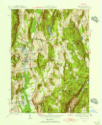
1945 Map of Pawling
USGS Topo · Published 1956About this map
Pawling and Patterson anchor this mid-1940s landscape where the Harlem Valley meets the Connecticut state line. The New York Central railroad runs north-south through the valley, passing the Hospital and connecting a series of local hamlets including Akins Corners and Burd Corners. Educational history is well-preserved through numerous rural schoolhouses such as Stark Sch, Hurd Sch, and Woodinville Sch, reflecting a distributed community structure. The topography is defined by the high ridges of Hammersly Ridge and Quaker Hill, the latter of which serves as the site for the Quaker Hill Meeting House. To the east, the boundary between Dutchess and Fairfield Counties marks the transition into New England, while the southern reaches extend into Putnam County near Cranberry Mountain.
Find a feature on this map
55 named features on this map. Tap any name to fly to it.
Don’t see what you’re looking for? This feature index may not catch every label — zoom into the map to look around manually.
Map Details
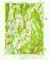
Editions of this 1945 Pawling Map
2 editions found
Other maps of this area

1892 · Danbury
USGS Topo · 1:62,500

1892 · New Milford
USGS Topo · 1:62,500

1892 · Carmel
USGS Topo · 1:62,500

1893 · Carmel
USGS Topo · 1:62,500

1893 · New Milford
USGS Topo · 1:62,500

1893 · Clove
USGS Topo · 1:62,500

1894 · Clove
USGS Topo · 1:62,500

1894 · Carmel
USGS Topo · 1:62,500

1898 · Clove
USGS Topo · 1:62,500

1901 · Clove
USGS Topo · 1:62,500