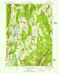
1945 Map of Pawling
USGS Topo · Published 1956About this map
The Great Swamp dominates the lowlands of this mid-century landscape, carving a wide corridor between the heights of West Mountain and Hammersly Ridge. The village of Pawling serves as the central hub, situated along the Central railroad line that parallels the swamp. This 1945 survey provides a clear view of the rural educational and social fabric of the area, noting several community landmarks such as the Stark Sch, Woodinville Sch, and the Hurd Sch. On the eastern ridges near the Connecticut border, the Quaker Hill Meeting House and a nearby Observatory sit atop the high ground near Seeley Hill. The map also captures the early recreational and residential development around Green Mountain Lake and Quaker Lake, contrasting the established agricultural crossroads like Akins Corners and Hurd Corners with the specialized facilities at the Hospital north of the village.
Find a feature on this map
55 named features on this map. Tap any name to fly to it.
Don’t see what you’re looking for? This feature index may not catch every label — zoom into the map to look around manually.
Map Details
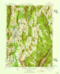
Editions of this 1945 Pawling Map
2 editions found
Other maps of this area

1892 · Danbury
USGS Topo · 1:62,500

1892 · New Milford
USGS Topo · 1:62,500

1892 · Carmel
USGS Topo · 1:62,500

1893 · Carmel
USGS Topo · 1:62,500

1893 · New Milford
USGS Topo · 1:62,500

1893 · Clove
USGS Topo · 1:62,500

1894 · Clove
USGS Topo · 1:62,500

1894 · Carmel
USGS Topo · 1:62,500

1898 · Clove
USGS Topo · 1:62,500

1901 · Clove
USGS Topo · 1:62,500