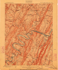
1900 Map of Pawpaw
USGS Topo · Published 1911About this map
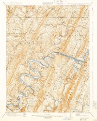
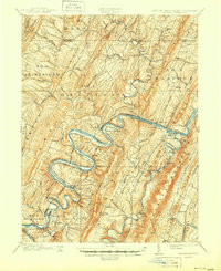
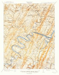
The Potomac River winds in dramatic loops through this 1900 survey of the tri-state border region, where Maryland, West Virginia, and Pennsylvania converge. This area is defined by the heavy infrastructure of the era, following the river’s path with the Baltimore and Ohio Canal and the Baltimore and Ohio Railroad often running parallel. The topographical detail reveals the complex ridge-and-valley system of the Appalachians, including Purslane Mountain and Warm Spring Ridge.
Find a feature on this map
113 named features on this map. Tap any name to fly to it.
Don’t see what you’re looking for? This feature index may not catch every label — zoom into the map to look around manually.
Map Details
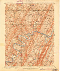
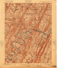
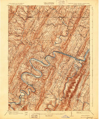
Editions of this 1900 Pawpaw Map
8 editions found
Other maps of this area

1891 · Romney
USGS Topo · 1:125,000

1894 · Winchester
USGS Topo · 1:125,000

1898 · Paw Paw
USGS Topo · 1:62,500

1899 · Flintstone
USGS Topo · 1:62,500

1899 · Hancock
USGS Topo · 1:62,500

1900 · Pawpaw
USGS Topo · 1:62,500

1900 · Flintstone
USGS Topo · 1:62,500

1901 · Hancock
USGS Topo · 1:62,500

1910 · Paw Paw
USGS Topo · 1:62,500

1914 · Gerrardstown
USGS Topo · 1:48,000