
1900 Map of Pawpaw
USGS Topo · Published 1900About this map
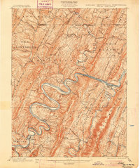
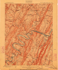
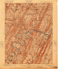
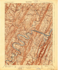
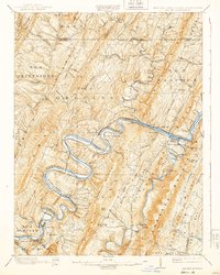
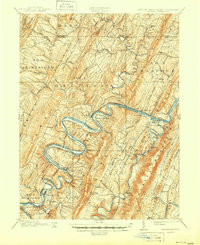
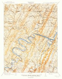
The Potomac River carves a dramatic series of deep meanders through this portion of the Appalachian Mountains, serving as the primary corridor for regional transport at the turn of the century. The map illustrates the close proximity of the Chesapeake and Ohio Canal and the Baltimore and Ohio Railroad, which hug the riverbanks through narrow passages like Doe Gully and around the bend at Magnolia. This industrial lifeline contrasts with the surrounding ridges such as Sideling Hill and Purslane Mountain, where small settlements like Orleans Crossroads and Bellegrove are scattered along upland roads.
Find a feature on this map
61 named features on this map. Tap any name to fly to it.
Don’t see what you’re looking for? This feature index may not catch every label — zoom into the map to look around manually.
Map Details
Editions of this 1900 Pawpaw Map
8 editions found
Other maps of this area

1891 · Romney
USGS Topo · 1:125,000

1894 · Winchester
USGS Topo · 1:125,000

1898 · Paw Paw
USGS Topo · 1:62,500

1899 · Flintstone
USGS Topo · 1:62,500

1899 · Hancock
USGS Topo · 1:62,500

1900 · Flintstone
USGS Topo · 1:62,500

1901 · Hancock
USGS Topo · 1:62,500

1910 · Paw Paw
USGS Topo · 1:62,500

1914 · Gerrardstown
USGS Topo · 1:48,000

1916 · Gerrardstown
USGS Topo · 1:62,500