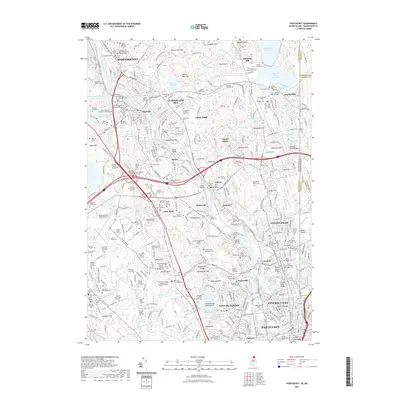
2021 Map of Pawtucket
USGS Topo · Published 2021About this map
The Blackstone River corridor anchors this modern survey of northern Rhode Island, tracing the industrial and residential evolution of the Blackstone Valley. The landscape is heavily marked by the region's diverse heritage, evidenced by the numerous specialized religious sites such as Saint Stephen's Ukrainian Orthodox Cem and Saint John the Baptist Romanian Orthodox Cem. These burial grounds, alongside many smaller family plots like the James Whipple Lot, speak to generations of local genealogy and the waves of settlement that defined towns like Cumberland Hill, Lonsdale, and Saylesville.
Find a feature on this map
200 named features on this map. Tap any name to fly to it.
Don’t see what you’re looking for? This feature index may not catch every label — zoom into the map to look around manually.
Map Details
Editions of this 2021 Pawtucket Map
This is the sole edition of this map. No revisions or reprints were ever made.
Other maps of this area

1886 · Blackstone
USGS Topo · 1:62,500

1887 · Franklin
USGS Topo · 1:62,500

1887 · Providence
USGS Topo · 1:62,500

1889 · Providence
USGS Topo · 1:62,500

1889 · Blackstone
USGS Topo · 1:62,500

1889 · Franklin
USGS Topo · 1:62,500

1889 · Burrillville
USGS Topo · 1:62,500

1893 · Franklin
USGS Topo · 1:62,500

1893 · Blackstone
USGS Topo · 1:62,500

1894 · Burrillville
USGS Topo · 1:62,500