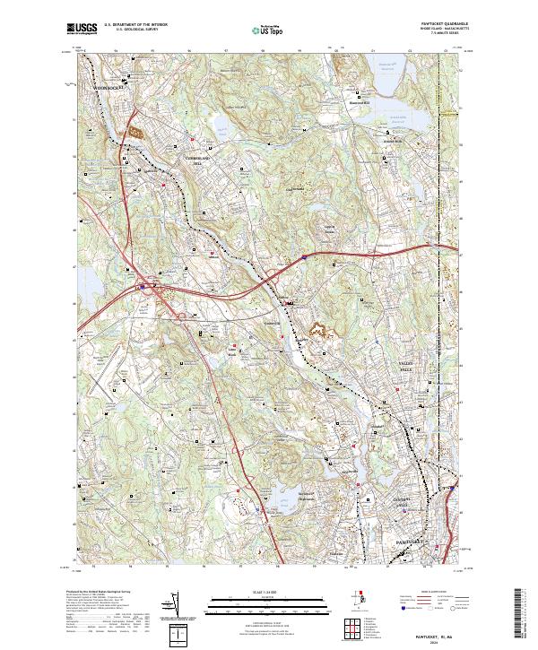
2024 Map of Pawtucket
USGS Topo · Published 2024About this map
The Blackstone River serves as the industrial and geographical spine of this region, winding through a dense network of mill towns and settlements. The industrial heritage of the valley is evident in the proximity of the Providence & Worcester RR to the riverbanks, where communities like Albion, Ashton, and Lonsdale developed around the water's power. To the west, the landscape transitions into the wooded highlands of Lincoln Woods State Park, featuring Olney Pond and the prominent Quinsnicket Ledge.
Find a feature on this map
379 named features on this map. Tap any name to fly to it.
Don’t see what you’re looking for? This feature index may not catch every label — zoom into the map to look around manually.
Map Details
Editions of this 2024 Pawtucket Map
This is the sole edition of this map. No revisions or reprints were ever made.
Other maps of this area

1886 · Blackstone
USGS Topo · 1:62,500

1887 · Franklin
USGS Topo · 1:62,500

1887 · Providence
USGS Topo · 1:62,500

1889 · Providence
USGS Topo · 1:62,500

1889 · Blackstone
USGS Topo · 1:62,500

1889 · Franklin
USGS Topo · 1:62,500

1889 · Burrillville
USGS Topo · 1:62,500

1893 · Franklin
USGS Topo · 1:62,500

1893 · Blackstone
USGS Topo · 1:62,500

1894 · Burrillville
USGS Topo · 1:62,500