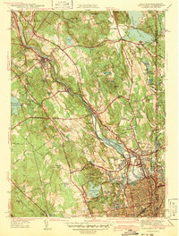
1938 Map of Pawtucket
USGS Topo · Published 1941About this map
The Blackstone River serves as the industrial spine of this pre-war Rhode Island landscape, anchoring a dense network of mill towns and manufacturing centers. Settlements like Lonsdale, Saylesville, and Valley Falls reveal a landscape shaped by water power and rail access, with the New York New Haven and Hartford Railroad providing essential connectivity between Pawtucket and Woonsocket. The presence of the Cistercian Monastery and numerous community burial grounds, such as St James Cem and Moshassuck Cem, indicates a mature social fabric rooted in the valley's development.
Find a feature on this map
76 named features on this map. Tap any name to fly to it.
Don’t see what you’re looking for? This feature index may not catch every label — zoom into the map to look around manually.
Map Details
Editions of this 1938 Pawtucket Map
This is the sole edition of this map. No revisions or reprints were ever made.
Other maps of this area

1886 · Blackstone
USGS Topo · 1:62,500

1887 · Franklin
USGS Topo · 1:62,500

1887 · Providence
USGS Topo · 1:62,500

1889 · Providence
USGS Topo · 1:62,500

1889 · Blackstone
USGS Topo · 1:62,500

1889 · Franklin
USGS Topo · 1:62,500

1889 · Burrillville
USGS Topo · 1:62,500

1893 · Franklin
USGS Topo · 1:62,500

1893 · Blackstone
USGS Topo · 1:62,500

1894 · Burrillville
USGS Topo · 1:62,500